


- Yokohama-shi Top Page
- Living and Procedures
- Community Development and Environment
- Roads
- Construction
- Urban planning roads
- In-business routes
- Urban planning road Mudgame Kamariya Line (Teramae area)
Here's the text.
Urban planning road Mudgame Kamariya Line (Teramae area)
Last update date April 1, 2024
The Mudgame Kamariya Line, a city planning road, is an arterial road in the area that starts in Seto, Kanazawa-ku and ends in Kamariya-cho in the same ward.
Of these, we are promoting road maintenance projects for the sections of Teramae 1-chome and 2-chome.
| Business district | Mudgame Kamariya Line (Teramae Area) |
|---|---|
| Section | 2-chome Teramae, Kanazawa-ku (in front of Bunko Elementary School) to 1-chome Teramae (former Route 1) |
| Fiscal year | From FY2018 to FY2016 |
| Scale | Extension 530m Standard width 15m (2 lanes, both sidewalks) |
| Maintenance effect | ◆Ensuring the safety of school roads and facilitating vehicle traffic |
| Business progress rate※ | 64% (Estimated by the end of FY2023) |
| Land acquisition rate※ | 67% (Estimated by the end of FY2023) |
| Current construction Contract details | ※There is no construction currently under contract. |
| Related information | ◆You can look at administrative map information such as city planning from Yokohama-shi administrative map reporting system (outside site). |
| Materials | |
| Materials for briefing session | ◆1st Briefings (June 30, July 3, July 5, 2018) |
※The business progress rate is shown as the execution rate of total operating expenses.
※The land acquisition rate shows the ratio of the acquired area among the areas that have been approved for business.
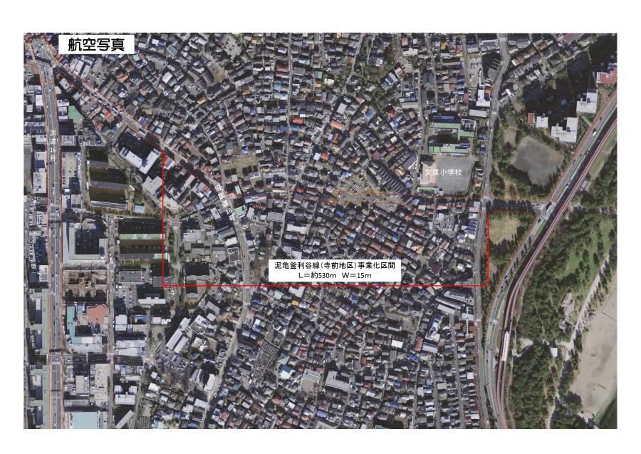
Aerial photograph
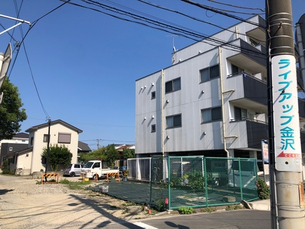 Former Route 1 Intersection (as of April 2024)
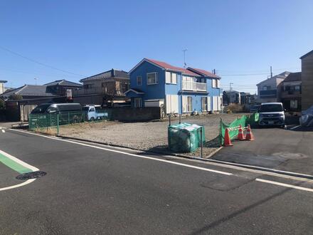 Near Shibamachi bus stop (as of April 2024)
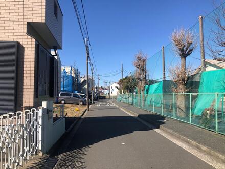 In front of Bunko Elementary School (as of April 2024)
You may need a separate PDF reader to open a PDF file.
If you do not have it, you can download it free of charge from Adobe.
![]() To download Adobe Acrobat Reader DC
To download Adobe Acrobat Reader DC
Inquiries to this page
Construction Division, Construction Department, Road and Highway Bureau Construction Department
Telephone: 045-671-3521
Telephone: 045-671-3521
Fax: 045-663-8993
Email address: do-kensetsu@city.yokohama.lg.jp
Page ID: 344-441-308


