


Here's the text.
Mount Takao
Last Updated April 4, 2022
Mount Takao (Registration No. 012) Registered in 2017
About Mount Takao
Mount Takao in Midori Ward is located in the Nagatsuta Tsuji area at the westernmost tip of Midori Ward and is the highest mountain in the ward. (elevation: 100.46m)
At the summit, "Izuna Shrine" is enshrined, and a festival is held in early April every year by local children from the Nagatsuta Tsuji and Okabe Tando areas.
In 1882, the first triangular point, which was the starting point of map making in Japan, was placed. The view of Oyama, Tanzawa, Fuji, Hakone and Chichibu is also wonderful.
In addition, the western slope has become a valuable archeological site as a buried cultural property burial site in the late Jomon period, which is said to be extremely small in the city area.
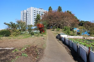
▲Mount Takao
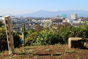
▲First class triangular point
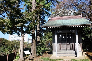
▲Iizuna Shrine
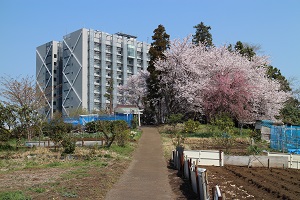
▲Mount Takao during the cherry blossom season
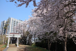
▲Iizuna Shrine in full bloom of cherry blossoms
[View from Mount Takao]
On a sunny winter day, you can see the mountain ridges beautifully.
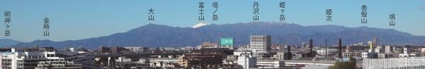
▲The Tanzawa Mountains from near the top of Mount Takao (taken on February 10, 2021)
※The name and position of the mountain are approximate.
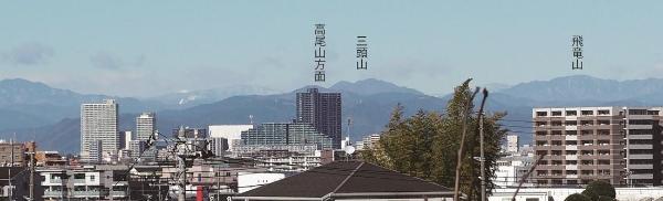
▲Mount Takao (Hachioji City, Tokyo) from the mountain path of Mount Takao (Midori Ward) (taken on February 10, 2021)
※The name and position of the mountain are approximate.
Location:
5617, Nagatsutacho, Midori-ku, Yokohama-shi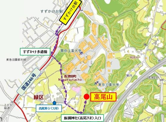
[Bus route]
From Nagatsuta Station (South Exit) on the JR Yokohama Line / Tokyu Denentoshi Line
From Minamimachida Station (North Exit) on the Tokyu Denentoshi Line
■Take the Kananaka Bus [Tsu 1 System] and get off at the bus stop "Takaohara" and walk 10 minutes.
Inquiries to this page
Midori Ward General Affairs Department Ward Administration Promotion Division Public Relations Section
Telephone: 045-930-2219
Telephone: 045-930-2219
Fax: 045-930-2225
Email address: md-home@city.yokohama.jp
Page ID: 776-781-347


