Here's the text.
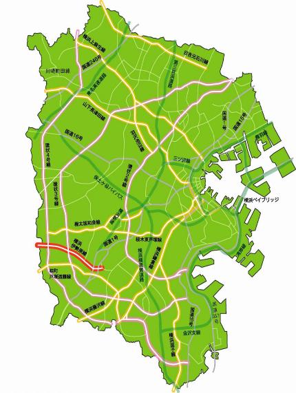
Main road Yokohama Isehara Line
Last Updated February 18, 2019
- It is a city planning road with a length of about 5.6 km from Totsuka-cho, Totsuka-ku to Kamiida-cho, Izumi-ku (Fujisawa-shi border).
- In March 2011, the conversion of all lines to four lanes was completed.
| Starting point | End point | Representative width (m) | Extension (m) |
|---|---|---|---|
| Totsukamachi, Totsuka-ku | Kamiiidacho, Izumi-ku (Fujisawa City) | 22 | 5,550 |

Inquiries to this page
Planning Division, Planning and Coordination Department, Road and Highway Bureau
Telephone: 045-671-2777
Telephone: 045-671-2777
Fax: 045-651-6527
Email address: do-dourogairo@city.yokohama.jp
Page ID: 284-351-149


