


- Yokohama-shi Top Page
- Living and Procedures
- Community Development and Environment
- Environmental Conservation
- Survey and observation
- Environment Environmental Pollution Monitoring Center
- Reference information
- Layout of water quality measurement points (measurement plan)
Here's the text.
Layout of water quality measurement points (measurement plan)
Last update date April 1, 2024
This page shows the layout of water quality measurement points that Yokohama City measures in rivers and sea areas (public water bodies) based on the public water body water quality measurement plan formulated by Kanagawa Prefecture.
Layout of water quality measurement points (measurement plan)
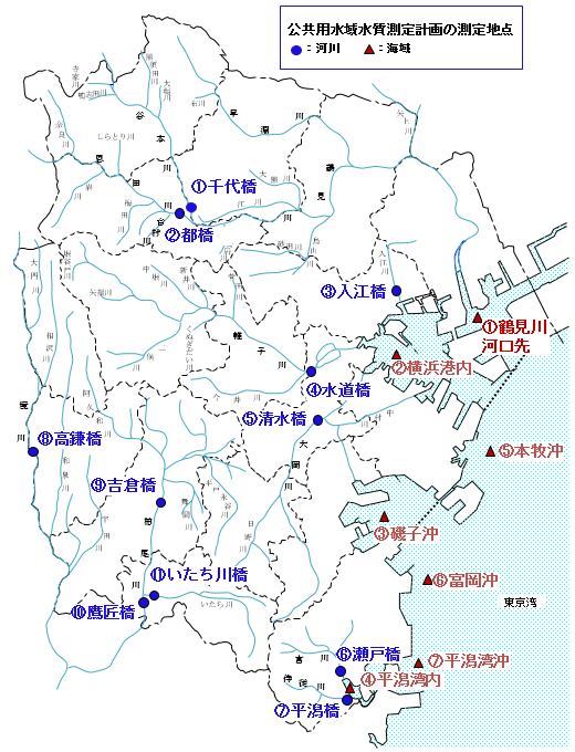
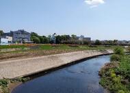
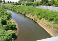
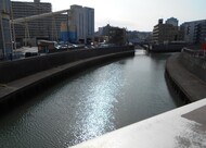
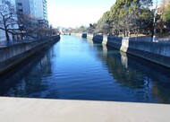
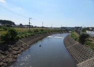
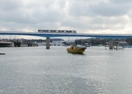
| ①Tsurumi River Sendai Bridge | ②Onda River Miyakobashi Bridge | ③Irie Kawairi Ebashi | ④Katabira River Suidobashi |
|---|---|---|---|
|
|
|
|
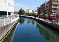
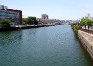
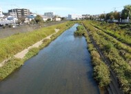
| ⑤Ookagawa Shimizu Bridge | ⑥Miyakawa Seto Bridge | ⑦Samurai Kawahiragata Bridge | ⑧Sakaigawa Takakamabashi |
|---|---|---|---|
|
|
|
|
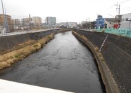
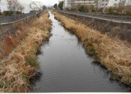
| ⑨Yoshikura Bridge, Kashio River | ⑩Kashio River Takasho Bridge | ⑪Itachi River Itachi Bridge |
|---|---|---|
|
|
|
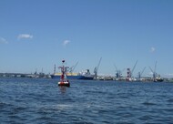
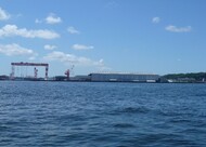
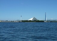
| ①At the mouth of the Tsurumi River | ②In Yokohama Port | ③Offshore Isogo | ④In Hiragata Bay |
|---|---|---|---|
|
|
|
|
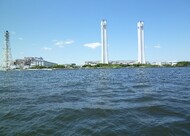
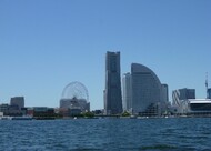
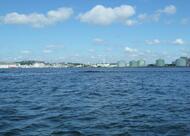
| ⑤Offshore Honmoku | ⑥Offshore Tomioka | ⑦Off the coast of Hiragata Bay |
|---|---|---|
|
|
|
Inquiries to this page
Environmental Pollution Monitoring Center, Environmental Management Division, Environmental Protection Department, Green Environment Bureau
Telephone: 045-671-3507
Telephone: 045-671-3507
Fax: 045-681-2790
Email address: mk-kankyokanri@city.yokohama.lg.jp
Page ID: 677-635-531


