- Yokohama-shi Top Page
- Living and Procedures
- Community Development and Environment
- Roads
- Planning and planning
- Basic plan for road maintenance, etc.
- Basic Policy on Road Maintenance
- About main road
- Highway Ring Route 2
- Route 2 Mori Branch Line
- Photo of Mori Branch Line No. 2 (taken on April 23, 2004)
Here's the text.
Photo of Mori Branch Line No. 2 (taken on April 23, 2004)
Last Updated February 18, 2019
Route 2 Mori Branch Line
Photographed on April 23, 2004
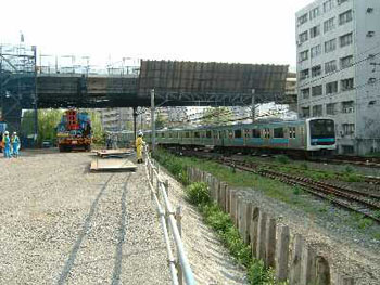
Intersection of the high-speed Gulf Line and the JR Negishi Line
(Shooted from the direction of Isogo Station)
The left is the high-speed Gulf Line, National Route 357.
The right is the direction of Route 2 Main Line
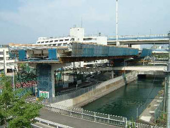
JR Negishi Line from Industrial Road
The left back is Morihigashi Elementary School
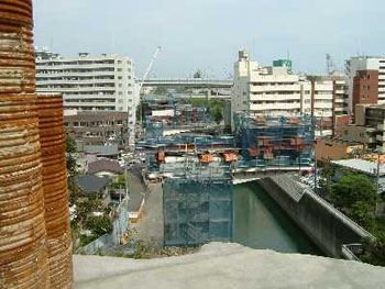
Bridge construction on the Ookagawa Branch Canal
The front is the High Speed Wangan Line (upper layer) and National Route 357 (lower layer).
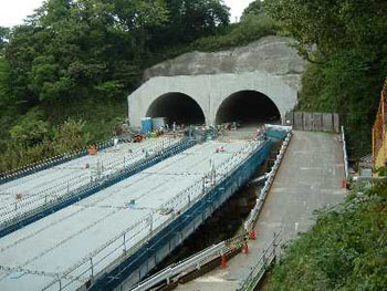
Tunnel (photod from the sea side)
The tunnel on the left is the high-speed Gulf Line, National Route 357. → Ring Route 2 and Ring Route 2 on the right → National Highway No. 357
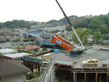
Near the intersection with the Shiomidai Hirado Line
In the foreground, temporary construction platform for work
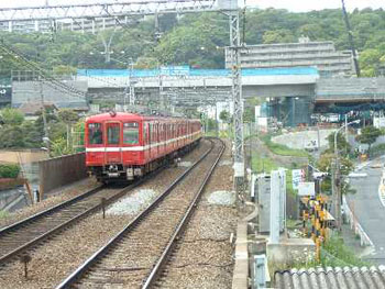
Intersection with Keikyu (photographed from Foldingoura Station)
The rear of the train is Mori Branch Line
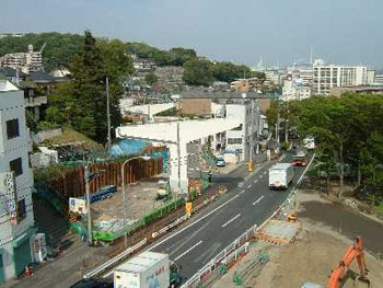
Intersection with Loop Route 2 (Main Line)
The road in the foreground is the inner line of Route 2
(From the side of the Isogo High Entrance Intersection)
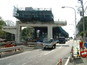
Confluence with Loop Route 2 (Main Line)
(From the folding screen gaura side)
Inquiries to this page
Planning Division, Planning and Coordination Department, Road and Highway Bureau
Telephone: 045-671-2777
Telephone: 045-671-2777
Fax: 045-651-6527
Email address: do-dourogairo@city.yokohama.jp
Page ID: 605-010-551


