


Here's the text.
Yokohamappa
Last update date May 2, 2024
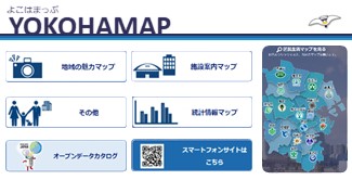
Yokohamappa
Please use "Yokohamappu (outside site)" for contents which we showed in <map> below inhabitant of a ward life map of each ward.
<Map to see>
- Inhabitant of a ward life map of each ward
- Picture map of the history of Naka Ward
- Map (Hodogaya Ward child care information)
- Yokohama Former Tokaido Hodogayajuku Highlights and Specialties Introduction Map
- Map of river and sea creatures survey points
- "I'll have it! “Tsuzuki Vegetables” Store Map
- "25 selections of green and flower spots" map
- Totsuka Ward History Map
- Minami Ward Medical Institution Map
- Kanazawa Ward clinics Pharmacy, Pharmacy, etc.
- Yokohama City Library Map
- Resources and Waste Recycling Bureau Public Toilets Map
- Disability welfare facility map
- Assessment MAP
- WebGIS version of Kohoku Ward Neighborhood Association Neighborhood Associations Area Map
- Yokohama Green Up Plan Forest Land conservation Map
- Elementary and junior high school commuting area map
- Barrier-Free Basic Concept Map
- Citizen's farm mapp
- Statistical information map
Related information
Statistics viewed on map (jSTAT MAP) (external site)
Statistics viewed on the map (jSTAT MAP) are a geographic information system that anyone can use. (Statistics Bureau, Ministry of Internal Affairs and Communications)
For inquiries to this page
Data Management Division, Policy Management Bureau
Phone: 045-671-2028
Phone: 045-671-2028
Fax: 045-663-4613
Email address: ss-gis@city.yokohama.jp
Page ID: 461-650-303


