


- Yokohama-shi Top Page
- Totsuka Ward Top Page
- Disaster Prevention and anti-crime program
- Disaster Prevention and Disasters
- disaster preparedness plan Hazard Map, etc.
- Disaster prevention maps and hazard maps
Here's the text.
Disaster prevention maps and hazard maps
Last Updated January 26, 2023
Know what risks are in your area of life!
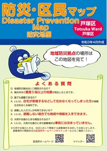
Disaster prevention and inhabitant of a ward map
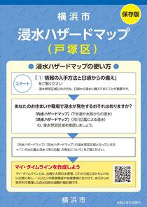
Inundation Hazard Map
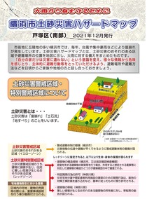
Earth and sand disaster hazard map
| Preparedness for Earthquakes | Prepare for typhoons and heavy rains |
|---|---|
・Disaster prevention, inhabitant of a ward map, Yokohama-shi earthquake map, page of Yokohama-shi liquefaction map |
・Inundation Hazard Map (Totsuka Ward Version) Page |
| Type of map | What you know |
|---|---|
| Disaster prevention, inhabitant of a ward map, Yokohama-shi earthquake map, Yokohama-shi liquefaction map | Estimated seismic intensity, risk of liquefaction, evacuation sites when it becomes impossible to live at home. |
Inundation Hazard Map |
(Flood) |
(Inland water) |
|
| Earth and Sand Disaster Hazard Map (Northern and Southern) | Areas that may be damaged in the event of a landslide |
| Earth and sand disaster hazard map (information side) | evacuation sites, etc., which will be opened when Totsuka Ward issued evacuation warning, etc. |
If you would like to know the details of each map, please contact the ward office General Affairs Division 045-866-8307.
For detailed places that cannot be confirmed on the hazard map, use the Wai Wai Disaster Prevention Map!
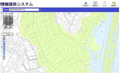
Since the map can be enlarged, it is easy to check the details!
What can be done with the Wai Wai Disaster Prevention Map
・You can check detailed places that cannot be confirmed on the hazard map!
・You can search from Address, so you can easily check around your relatives' homes!
Click here for access and usage of the Wai Wai disaster prevention map.
Page of Wai Wai disaster prevention map (outside site) (Yokohama-shi administrative map reporting system)
Page of how to use the Wai Wai disaster prevention map (PDF: 1,884KB)
Let's make preparations in case of emergency using public information Yokohama September issue Totsuka Ward version "disaster prevention preservation version"!
If you use the disaster prevention preservation version, you can solve such questions!
・What should I do specifically to prepare for a disaster?
・What should I use to collect information in the event of a disaster?
・When should I take evacuation actions in the event of a disaster?
・What kind of life can you live in evacuation sites?
Click here for the Disaster Prevention Preservation Version
Public information Yokohama September issue Totsuka Ward version page
You may need a separate PDF reader to open a PDF file.
If you do not have it, you can download it free of charge from Adobe.
![]() To download Adobe Acrobat Reader DC
To download Adobe Acrobat Reader DC
Inquiries to this page
Totsuka Ward General Affairs Department General Affairs Division
Telephone: 045-866-8307
Telephone: 045-866-8307
Fax: 045-881-0241
Email address: to-bousai@city.yokohama.jp
Page ID: 237-913-585


